
Ride Statistics

Ride Difficulty Rating – Intermediate and Expert
Elevation Gain – 848 m
Distance – 49.7 Km combination of loops and out and back routes
Estimated cycling time – 3 hours due to steep grades
Maximum Elevation – 1698 m (End of the road at Norquay ski hill of course!)
Maximum Grade – Uphill 8.4% at km 40.8 (near the Banff Centre), Descent 9.3% at km 29.8 (Bottom of Norquay hill as you approach the Texas Gate!!)
Best Parking Option
Cascade Ponds Parking area. As you approach Banff from the east on Hwy 1, take the first Banff exit, make an immediately right hand turn toward Lake Minnewanka, and then another immediate right into the Cascade Ponds parking area. There are outhouses and picnic table at this parking area. Note: You need a valid Parks Canada pass.
Points of Interest (labelled on the map above)
1. The first 13 km loop is the Lake Minnewanka loop, which can be done in either direction. We recommend going counterclockwise on your first time but do try the other direction the next time as the view and experience is different. Take the opportunity to enjoy the beautiful view of Two Jack Lake at km 7. This 13 km loop has been part of the Banff Triathlon and Gran Fondo routes. This is an 88 m elevation gain reaching the peak at the 6.5 km mark of this 13 km loop.
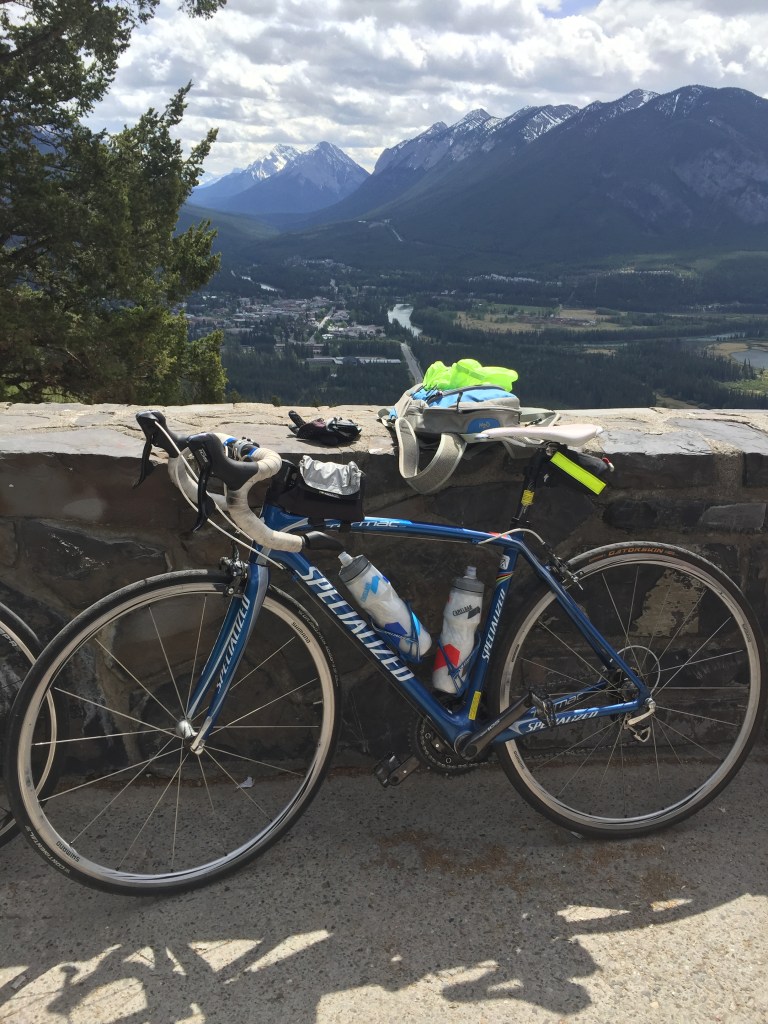
2. The second hill is the Norquay Mountain out and back climb. At km 23.7 (the sixth and last switch back before reaching the parking area at the top) there is a look out point with a view of the Banff town site and Vermillion Lakes that is worth stopping for a rest. This is a 302 m elevation gain over 5.5 kms.
3. The third assent is up to the historic Banff Hot Springs and Sulphur Mountain Gondola. This is an 183 m elevation gain over 3.5 kms.
4. Finally, you will climb up to the Banff Centre, which hosts many cultural events and conferences after which you will pass by the Hoodoos and Tunnel Mountain campground. This is a 95 m elevation gain over a short 1.2 km assent from town reaching the peak at the Banff Centre.
Road Conditions
Mainly smooth asphalt throughout the route. There is no shoulder for most of the route with the exception of the 6-foot shoulder along the Trans Canada Highway section. The Lake Minnewanka loop can be windy at times. This ride will likely not be doable early in the season: note that part of the Minnewanka Loop is closed until the end of April and definitely wait until after the Norquay ski hill is closed for the season to avoid heavy skier traffic on that section. Watch for Texas gates at the bottom of both the Lake Minnewanka loop and Norquay hill. We recommend getting off and walking your bike across the Texas gate if you feel comfortable, as balancing on the Texas gate rails in cycling shoes can be tricky! If not, look to the ditches and there are crossings with gates that you can walk your bike through. Watch out for wild animals on the route. We have seen mountain sheep on the Minnewanka Loop and Norquay road almost every time we have tested this route.
Comments from our test riders:
Beginner Road Cyclist – ‘Didn’t feel comfortable doing the Norquay hill so eliminated this one from the route’
Intermediate Road Cyclist – ‘Great for hill training. Very thrilling descents.’
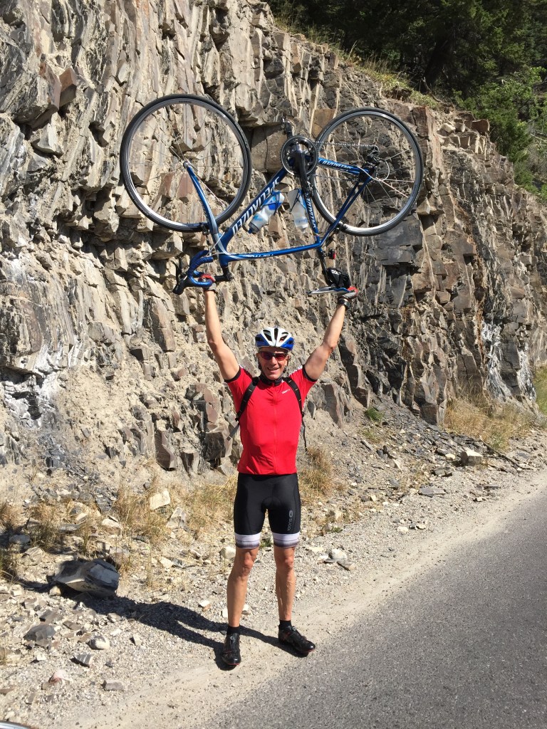
Expert Road Cyclist – ‘Love this ride. My favourite ride ever!’
What to expect on this ride
This incredible route is recommended for all Intermediate and Expert riders. We have combined the four major climbs in the Banff area into one thrilling ride, which can be done accessing relatively quiet roads weekdays and during shoulder seasons. The roads are all in very good condition and motor vehicle traffic generally respects the cyclist on these lower speed limit secondary and Banff town roads. There is one short section along the Trans Canada Highway to provide you with a sample of what it is like to travel in the park on this major road. If you are really adverse to this option you can avoid this section by accessing part of the Legacy Trail and going through the town site to access the Norquay Road. Some of our test riders were reluctant to travel on the Trans Canada Highway but if you are ever going to do it, this is the place as the shoulder is very wide and smooth along the double-lane divided highway.
There are many look out points with stunning vistas that are worth stopping at as well as having the option to stop in Banff at any of the fine coffee shops easily accessible from this route after you have finished the Norquay hill and descend right into the heart of Banff. Our favourite coffee shop is the WhiteBark on Banff Avenue. You will pass by many iconic Banff cultural sites like the Banff Hot Springs, Banff Parks Office and Banff Centre to name a few. Traffic volumes are light but in the peak of the summer season watch for recreational vehicles especially near the Tunnel Mountain campground. As always, bring layers as the mountain parks can be subject to sudden weather changes. This ride has so much to offer we just can’t say enough other than ‘do it!’.
This is a great shoulder (May-June, Sept-Oct) season ride if you like tough climbs and thrilling descents along with beautiful views. Everyone earns bragging rights after completing this ride. This route is rated Expert due to steep switch back descents on the Norquay section. The only draw back to this ride is that it is a bit of a drive from the Calgary city limits and requires a Parks Canada pass.
You always have the option of just doing the ‘Three’ Hills of Banff…if you don’t have the legs or time for all four. We won’t tell.